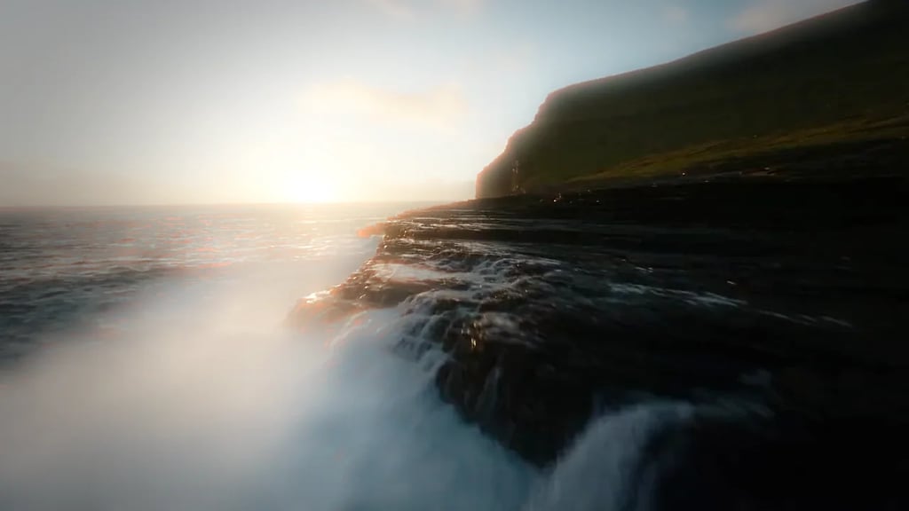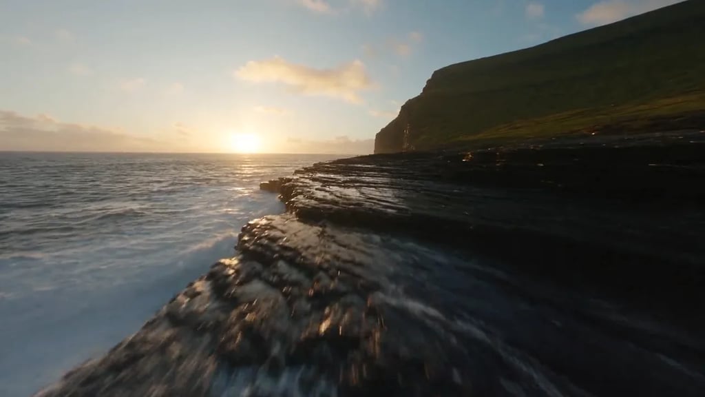

ControlNet depth conditioning
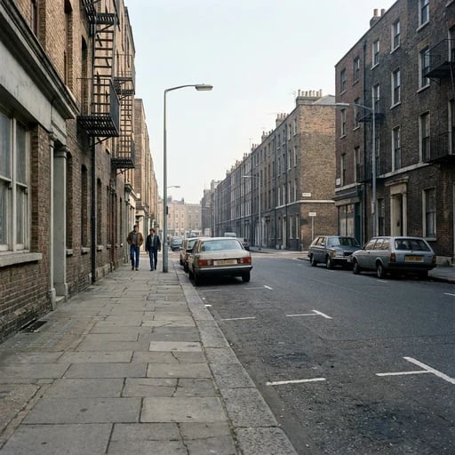
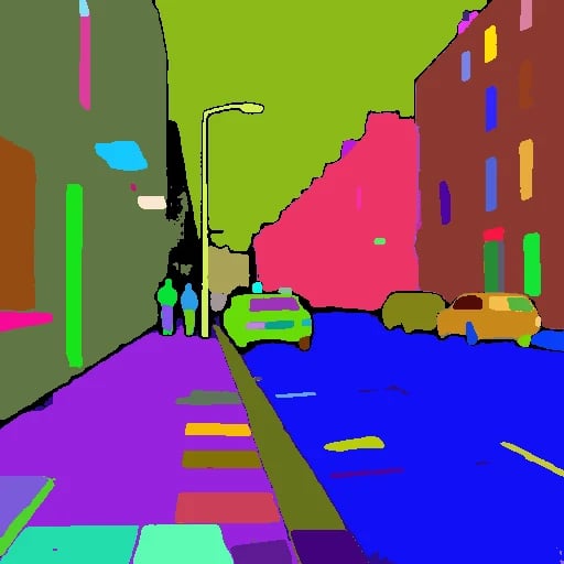
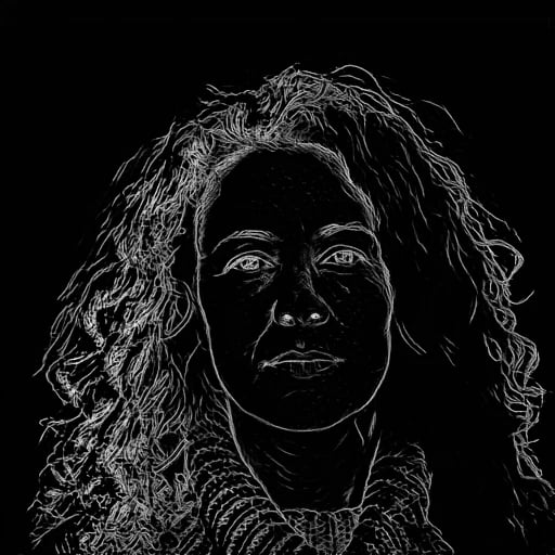
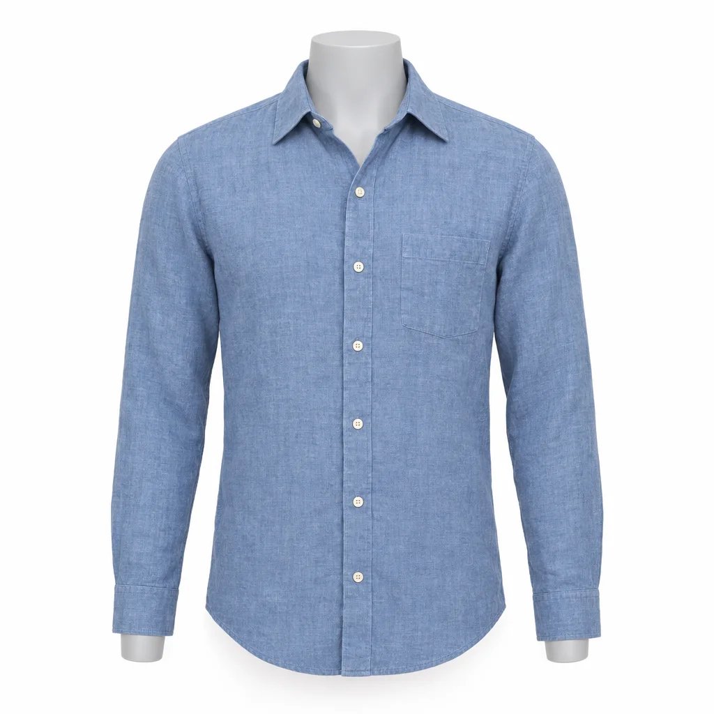
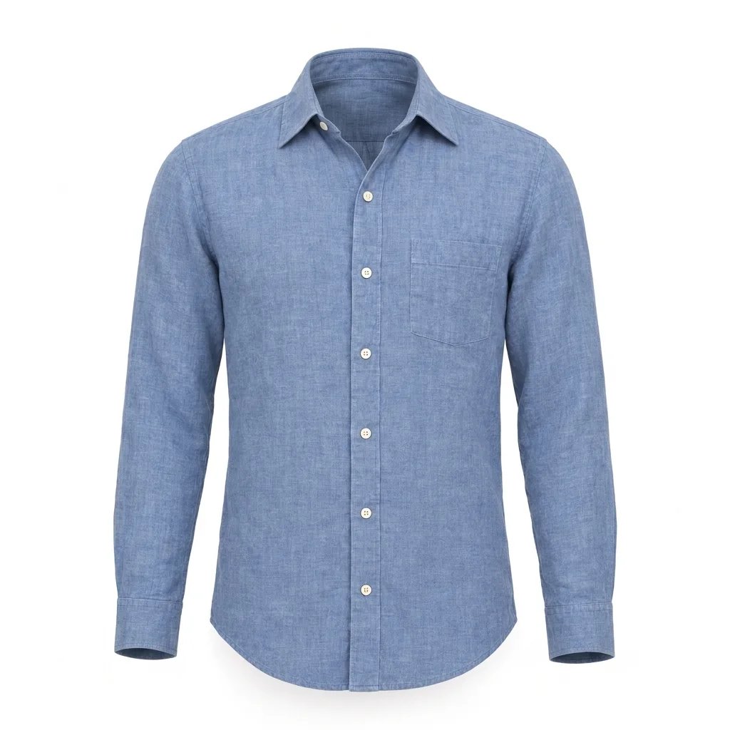
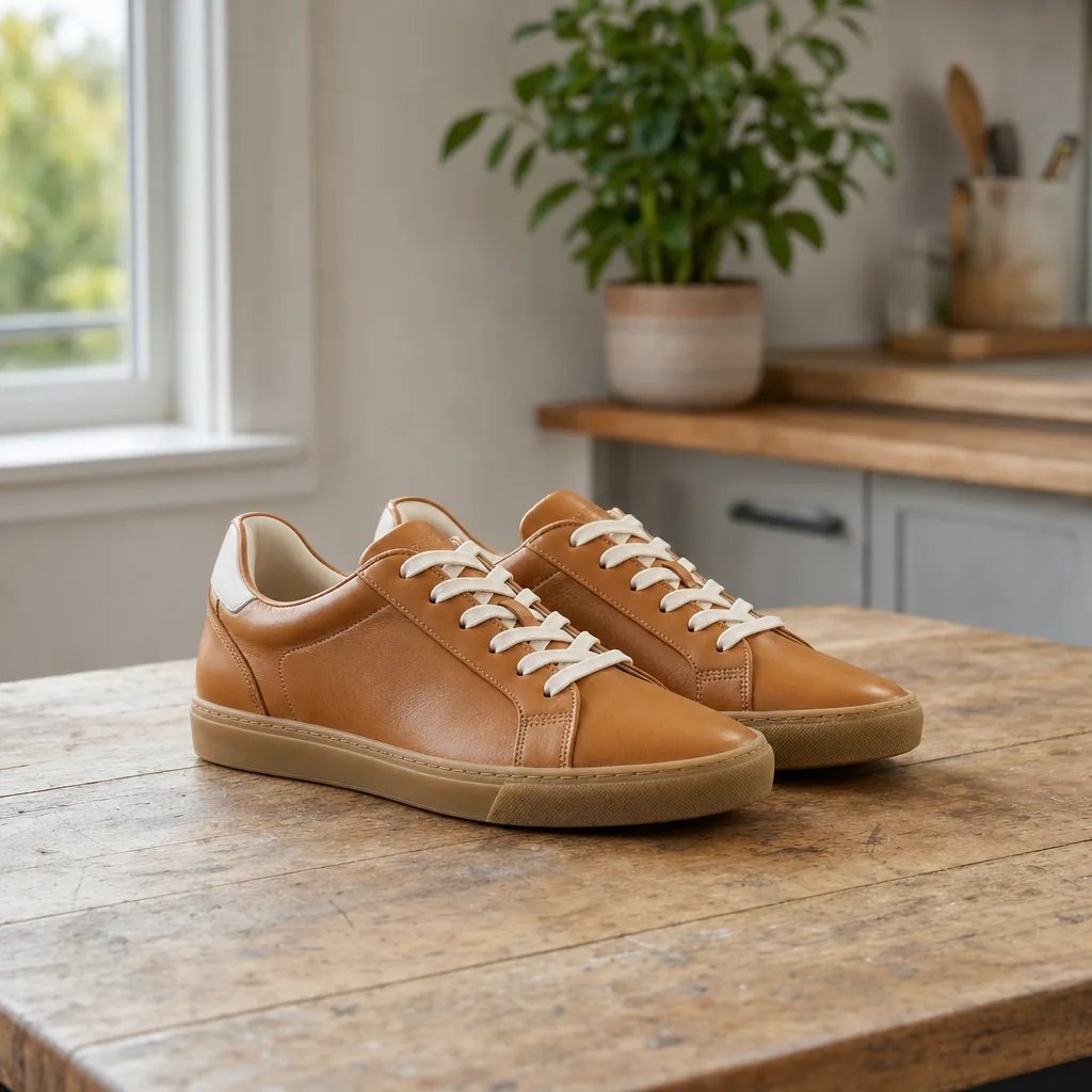
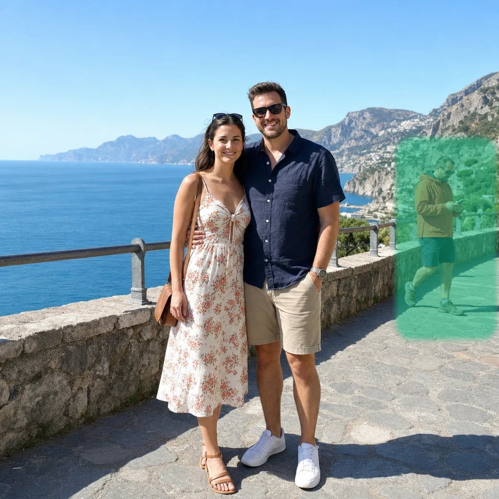
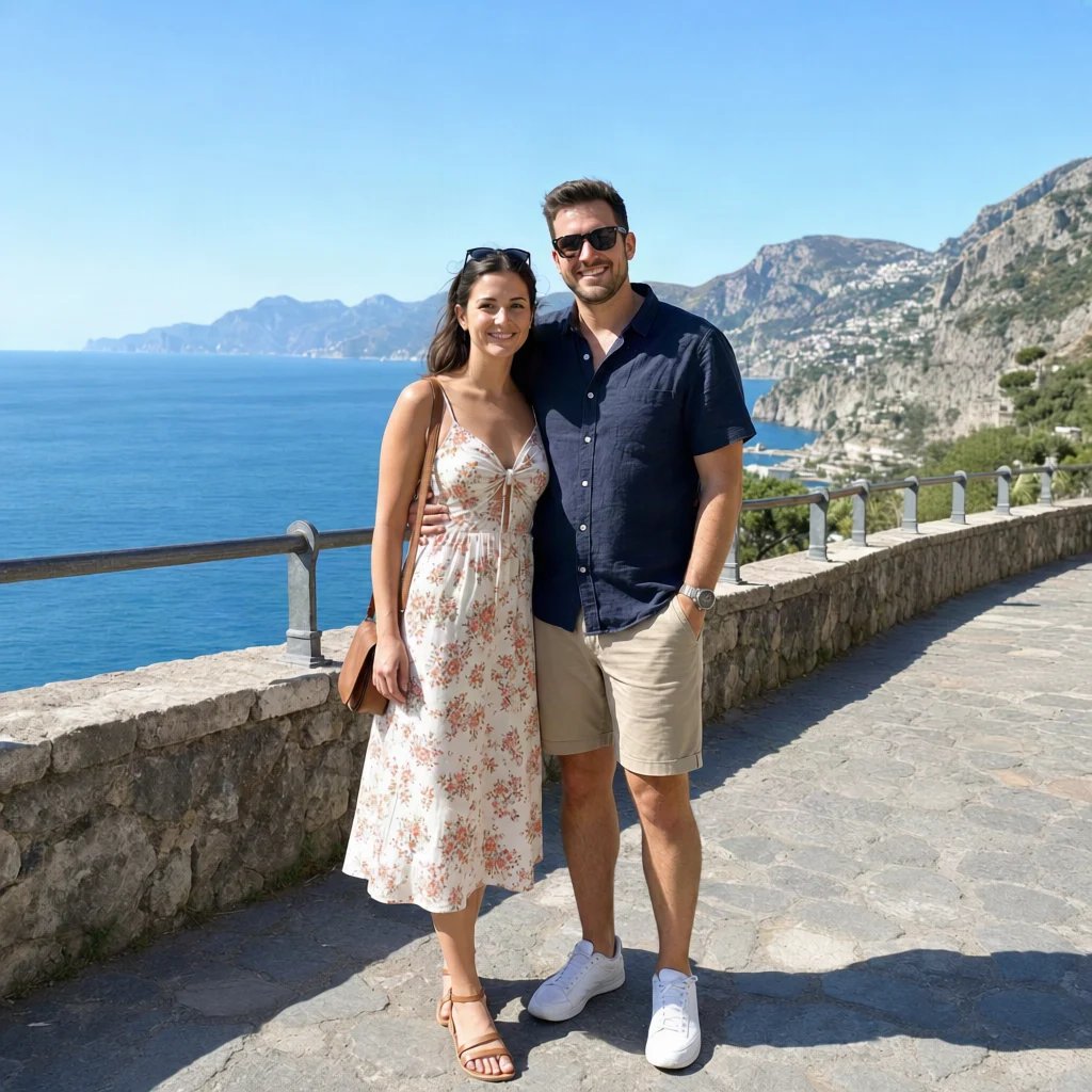
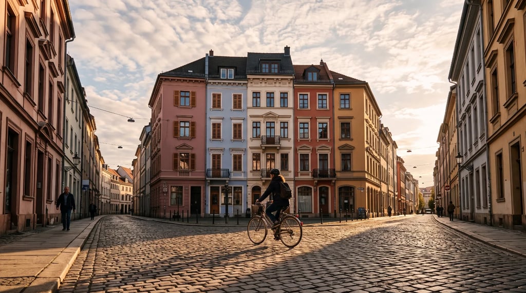
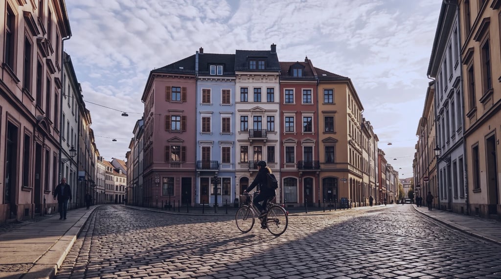
The most common use. A depth map gives a generation model the shape of a real scene, so a new image keeps the spatial arrangement while its appearance changes completely.
AI image depth map generator
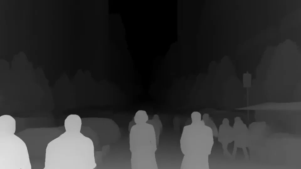
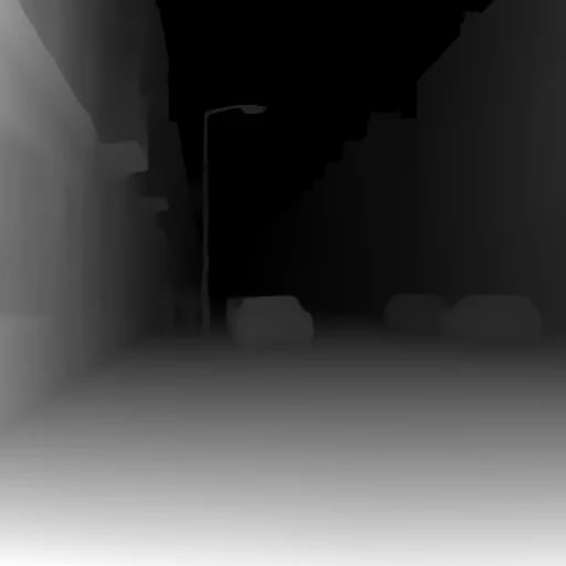
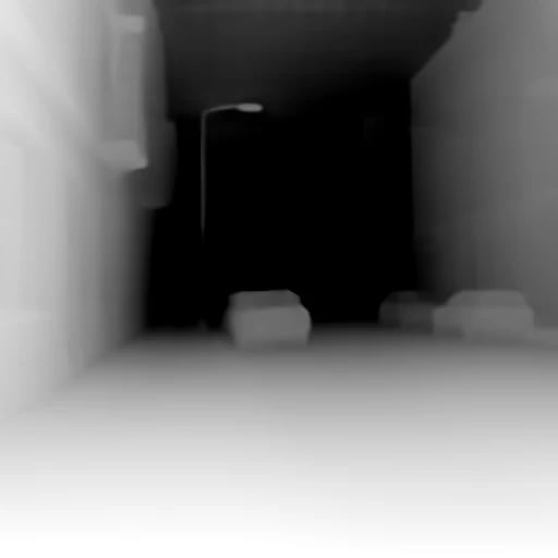
Upload a picture and get a grayscale depth map back — brighter is nearer, darker is further. Pick the estimator that suits your scene, then use the map as structural guidance for generation, or as a displacement source for 3D and parallax.
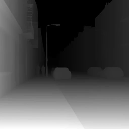
Examples
How it works
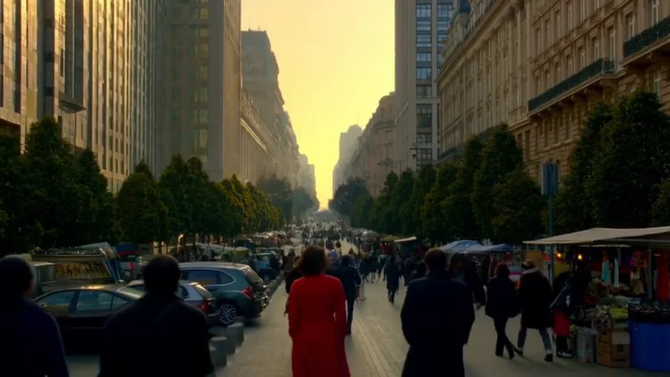
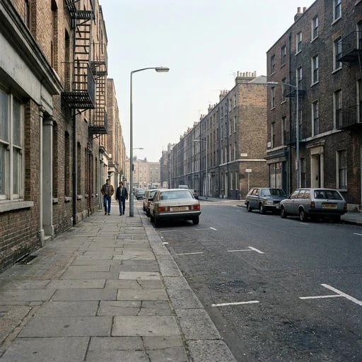
Drop in one JPG, PNG or WebP. Scenes with real distance in them — a street, a room, a view — read far better than a flat object on a plain backdrop.
Three models, three different readings of the same scene. Leave it on Depth Anything if you are not sure; the section below says when the other two are the better answer.
The map opens in a generation session, so you can download it or wire it straight into a model as depth guidance without starting again.
Choose a model
All three return relative depth — near versus far within one picture. None of them measures real-world distance, whatever the numbers look like.
General-purpose relative depth that holds up across people, objects and outdoor scenes. The default, and the right answer for most photos.
Strong relative-depth layering, indoors or out. Reach for it when you want the planes of a scene clearly separated rather than smoothly graded.
Metric-oriented depth aimed at rooms, architecture and 3D spatial work. Closest to a real-distance reading of the three, though still not a measurement.
What it is for
The most common use. A depth map gives a generation model the shape of a real scene, so a new image keeps the spatial arrangement while its appearance changes completely.
Displace a still along its depth channel and a flat photo gains a sense of volume when the camera moves across it.
A depth channel is what lets you fog, grade or blur by distance rather than by hand-drawn selection.
Depth maps drive displacement in 3D pipelines and feed the spatial photo formats that headsets read.
Each depth map costs a flat 2 credits, whatever the size of the photo or the estimator you pick.
FAQ
More tools
Choose another tool to edit, enhance or transform your images and videos.
Start mapping
Upload one picture, pick an estimator, and get a grayscale depth map back in seconds.